Guided options
Hike Pedra Bonita with a guide
A guide can simplify trailhead transport and explain the route. This product includes the summit hike; check pickup coverage and current park access before booking.
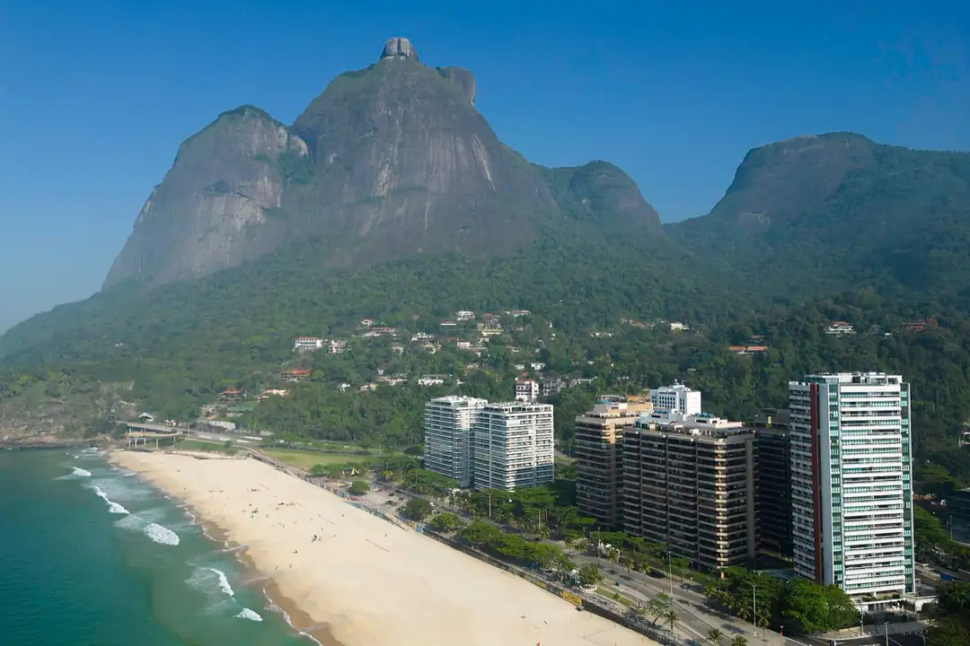
Pedra Bonita offers a broad view of São Conrado, Pedra da Gávea and the coast without the technical climbing associated with its famous neighbour. That does not make it a casual flip-flop detour. Getting to the trailhead, obeying park hours and choosing safe weather matter as much as the walk itself.
The official Tijuca National Park guide places the viewpoint in the Pedra Bonita sector and explains its visiting rules. Read it before setting out, because road and trail access can change.
What is the Pedra Bonita trail like?
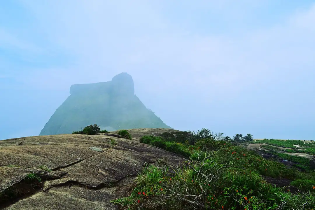
The route climbs from the parking and access area through forest to an open granite summit. The park describes roughly 20 minutes to the top from the trail, but allow considerably more for a comfortable climb, photographs and the return. Fitness, heat, mud and group pace make a large difference.
The open summit has little shelter. Start early, carry water, wear shoes with grip and avoid walking into a thunderstorm or low cloud that removes the view. Keep back from exposed edges; the photographs do not need to prove how close you can stand.
How do you reach the trailhead?
Pedra Bonita is above São Conrado, not beside a metro station. A taxi, app car or guided transfer is the most practical approach for many visitors. Agree on a return plan before your ride leaves; mobile reception and available cars may be less reliable at the access point than at your hotel.
The park says visitors can access the trail area from 08:00 to 17:00, with the last uphill start by 16:00 under its published rules. Recheck the official park page for the date of your visit, weather closures and any updated limits. Do not plan a late sunset hike that conflicts with the park's exit time.
What will you see from the summit?
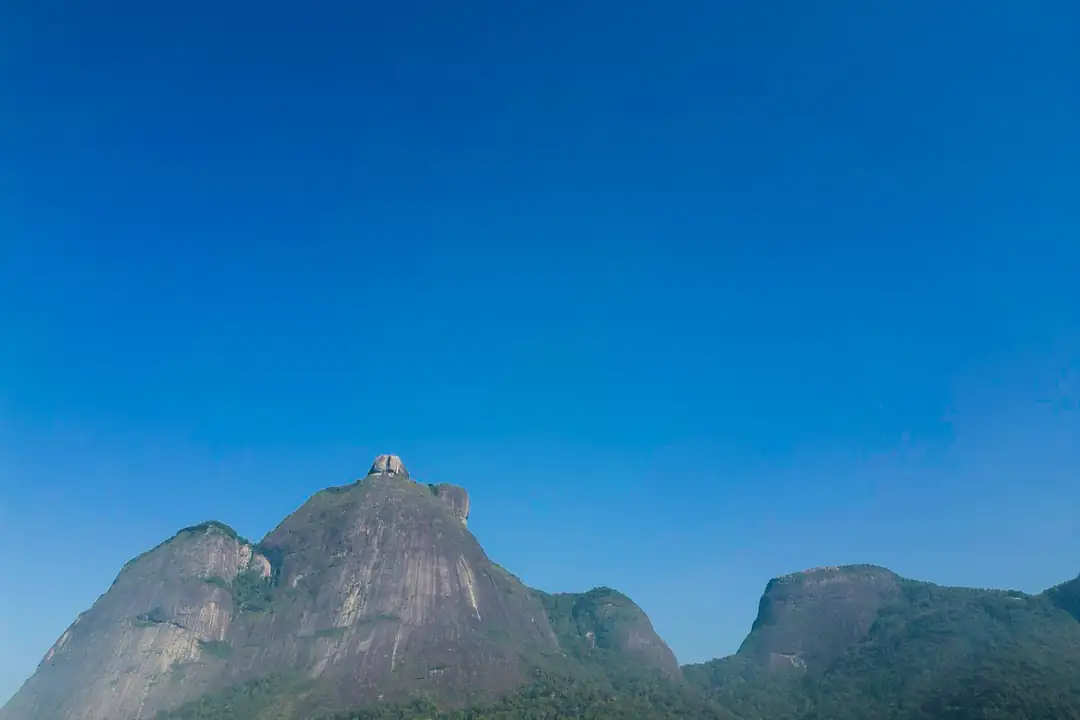
On a clear day, the view opens towards São Conrado, the Atlantic, Barra da Tijuca and the dramatic profile of Pedra da Gávea. The take-off ramp used for hang gliding and paragliding is in the broader Pedra Bonita area but is not the same as the summit trail. Follow signs and staff directions around active flights.
If your main goal is to watch flights, check the operators' current arrangements. If you want to hike, focus on the marked trail and the summit. The two activities need different bookings and safety decisions.
Should you take a guide?
The marked hike can be done independently by prepared visitors, but a guide solves transport and route logistics and may add nearby viewpoints. Read the itinerary carefully: some products mention Pedra Bonita yet offer only a ramp or viewpoint stop, while others actually include the summit hike.
For a more demanding mountain day, compare the Tijuca National Park guide and other trails. Pedra Bonita is a good first choice when you want a view without a full-day technical ascent.
FAQ - Pedra Bonita Hike, Rio
Is the Pedra Bonita hike difficult?
It is generally a moderate uphill walk, but heat, mud and uneven ground can make it harder.
How long is the trail?
The park describes about 20 minutes to reach the top from the access area; allow extra time for your pace and return.
Can you go for sunset?
The park's published access and last-start times make a late sunset hike unsuitable. Check current rules before planning.
Is Pedra Bonita the same as Pedra da Gávea?
No. They are separate mountains with very different trail demands.
Do you need a ticket?
Check the park's current visiting rules; guided transport or tours are separate paid services.
Can you see the hang-gliding ramp?
It is in the Pedra Bonita area, but the flight ramp and summit hiking route are distinct.
What should you bring?
Water, sun protection, shoes with grip and a charged phone. Carry out any rubbish.
How do you get back from the trailhead?
Arrange your return taxi, app car or guided transfer in advance rather than assuming one will be waiting.